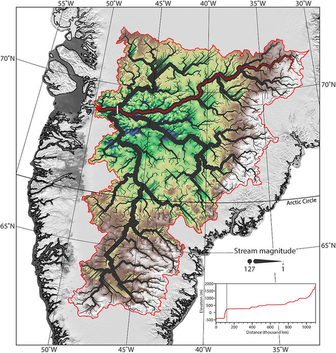
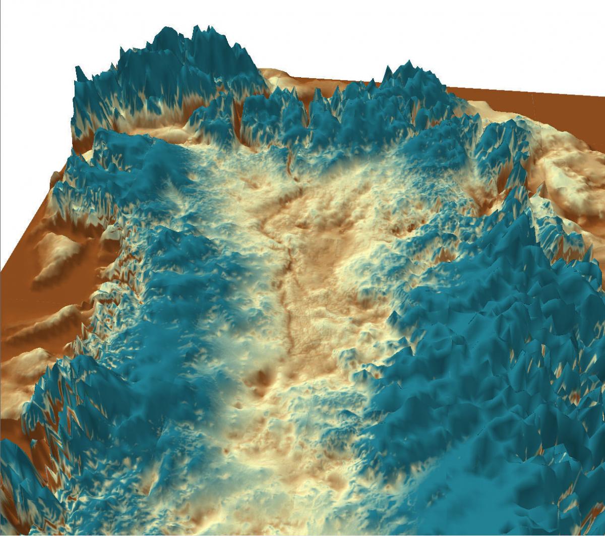
 Under the Greenland glacier radar has revealed a web of canyons caused by former rivers. Live Science provided the image on the left and scientists are saying the rives go back over 3 million years ago, when glaciation is thought to have set in. There are of course problems with this idea as the canyons are V shaped (which is why they are attributed to rivers and streams rather than ice melt or glaciers that carve out a U shaped valley). This is pointed out at a link provided by Robert Farrar – go to http://crev.info/2016/07/warm-landscape-under-greenland/ … where the point is made. Actually, one may wonder if even in mainstream the date of 3.5 million years ago might be wrong as ice cores seem to go back to the last Interglacial Period (not to earlier glacials). Do they necessarily go back millions of years? The argument being made at the link is that the valleys cannot be that old otherwise ice would have caused the canyons to become U shaped – but is this a straw man? If the ice sheet was thousands of years old rather than millions one might imagine they may have remained a V shape – but why would ice not preserve a V shape?
See also www.livescience.com/55286-rivers-beneath-greenland-ice-sheet-discovered….
See also www.livescience.com/39289-greenland-largest-canyon-discovered.html … 
